
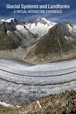
Glacial Systems and Landforms: A Virtual Interactive Experience - Paperback
Pay over time for orders over $35.00 with
Offers & Perks
Earn 31 points with this purchase
Added to your rewards balance after checkout.
100 points welcome bonus
Create an account and start with extra points.
Using Google Earth, this guide offers a virtual interactive experience in which students can visit and explore glacier environments in 3D. Ryan C. Bell demonstrates how the explosion of satellite imagery and remote sensing technologies has further helped reveal the hidden truths of glacial environments by providing new methods of mapping and measuring glacial ice.
Taking advantage of the recent proliferation in high-resolution satellite imagery, this guide includes a series of satellite images from NASA's Earth Observatory. By studying these images students will not only start to recognize the patterns and processes commonly found within glacial landscapes, but will also develop skills in map analysis and interpretation. Such guided inquiry activities range from calculating the Mendenhall Glacier's rate of melting to identifying erosional landforms in the Swiss Alps.
Included within this book is a guided final project in which students have the opportunity to develop and present a Google Earth tour of various glacial landforms, allowing them to "fly" from one location to the next. The volume also reveals how past and present glaciations profoundly influence almost every aspect of life on Earth and can provide answers and solutions to current climate problems.
Ryan C. Bell teaches Earth Science and AP Environmental Science at Sutherland High School in Pittsford, New York.
Contributor(s)
Author
Free shipping on orders over $75. Standard shipping takes 3-7 business days. Eligible items may be returned within 30 days of delivery. Conditions apply.