
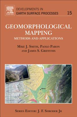
Geomorphological Mapping: Methods and Applications Volume 15 - Hardcover
$225.99
Quantity
01
Pay over time for orders over $35.00 with
Offers & Perks
Earn 225 points with this purchase
Added to your rewards balance after checkout.
100 points welcome bonus
Create an account and start with extra points.
Availability:In StockContributor:Mike J. Smith, James S. Griffiths, Paolo ParonSeries:Developments in Earth Surface ProcessesTheme:Aspects (Academic)/Science/Technology AspectsPublish date:12/8/2011Pages:610
Languages:EnglishPublisher:Elsevier ScienceISBN-13:9780444534460ISBN-10:0444534466UPC:9780444534460Book Category:Science, Technology & EngineeringBook Subcategory:Earth Sciences, Remote Sensing & Geographic Information SystemsBook Topic:GeologySize:9.10 x 6.20 x 1.30 inchesWeight:1.135Product ID:SCHSAF67VX
Geomorphological Mapping: a professional handbook of techniques and applications is a new book targeted at academics and practitioners who use, or wish to utilise, geomorphological mapping within their work. Synthesising for the first time an historical perspective to geomorphological mapping, field based and digital tools and techniques for mapping and an extensive array of case studies from academics and professionals active in the area. Those active in geomorphology, engineering geology, reinsurance, Environmental Impact Assessors, and allied areas, will find the text of immense value.
Languages:EnglishPublisher:Elsevier ScienceISBN-13:9780444534460ISBN-10:0444534466UPC:9780444534460Book Category:Science, Technology & EngineeringBook Subcategory:Earth Sciences, Remote Sensing & Geographic Information SystemsBook Topic:GeologySize:9.10 x 6.20 x 1.30 inchesWeight:1.135Product ID:SCHSAF67VX
Paron, Paolo: - Paolo is a Senior Lecturer at IHE Delft in the River Basin Development research group. He has more than 15 years of combined professional experience in the Humanitarian, Professional and Academic world in the areas of mapping, geology and geomorphology and remote sensing. In the last years he has been developing methods and tools for the use of UAV in hydraulic research including flood mapping as well as in ecology and soil erosion. He has worked and lived extensively in Eastern and Southern Africa with shorter assignments in Asia and East Asia, and at present he is based in Addis Ababa, Ethiopia.
Publisher: Elsevier Science
Contributor(s)
Authors
Free shipping on orders over $75. Standard shipping takes 3-7 business days. Eligible items may be returned within 30 days of delivery. Conditions apply.