
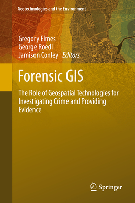
Forensic GIS: The Role of Geospatial Technologies for Investigating Crime and Providing Evidence - Hardcover
Pay over time for orders over $35.00 with
Offers & Perks
Earn 168 points with this purchase
Added to your rewards balance after checkout.
100 points welcome bonus
Create an account and start with extra points.
Written for researchers, practitioners and students
Includes real case studies
First and only book discussing the use of geospatial technologies in crime investigation and litigation
Discusses a wide range of technologies and applications
Provides current information on legal considerations for geospatial technologies in investigation and litigation
Prof. Gregory A. Elmes is professor of Geography at the West Virginia University since 1994 and co-director of the West Virginia State GIS Technical Center since 1995. He has more than 30 years of experience in Geographical Information Systems and how to apply GIS techniques to societal issues (public health, industries, archeology, public safety, forensic...). He supervised many master and PhD students and is a very active scientist in the field.
George W. Roedl is PhD candidate at the West Virginia University and is specialized in Geographic Information Systems/Science, remote sensing, computer cartography. He has additional expertise in the role and application of geospatial technologies to disaster management and forensic analysis/investigation, including the legal aspects of geospatial technologies within the modern courtroom. He won more than 10 awards for his various researches and papers and is very active in the field (teaching, committees, publications).
Prof. Jamison F. Conley is assistant Professor of Geography at the West Virginia University. He is an international expert on statistics, algorithms and techniques for the analysis of spatial data. One of his interesting projects is spatial analysis of crime events, community surveys and physical neighborhood disorder to help understanding the dynamics of spatial patterns of crime. He also works on the interaction between toxic pollutant and public health and also on spatial patterns related to coffee fair trade. He has won many awards for his research and is actively involved in teaching and scientific committees.
Edition
2014 Edition
Contributor(s)
Free shipping on orders over $75. Standard shipping takes 3-7 business days. Returns accepted within 30 days of purchase.