
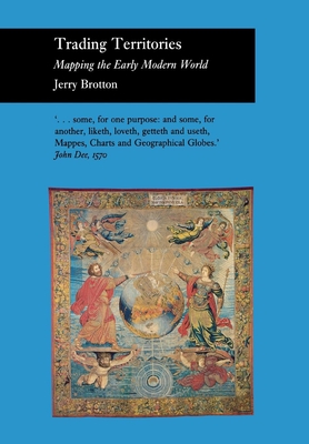
Trading Territories - Hardcover
Pay over time for orders over $35.00 with
Offers & Perks
Earn 87 points with this purchase
Added to your rewards balance after checkout.
100 points welcome bonus
Create an account and start with extra points.
In this generously illustrated book, Jerry Brotton documents the dramatic changes in the nature of geographical representation which took place during the sixteenth century, explaining how much they convey about the transformation of European culture at the end of the early modern era. He examines the age's fascination with maps, charts, and globes as both texts and artifacts that provided their owners with a promise of gain, be it intellectual, political, or financial. From the Middle Ages through most of the sixteenth century, Brotton argues, mapmakers deliberately exploited the partial, often conflicting accounts of geographically distant territories to create imaginary worlds. As long as the lands remained inaccessible, these maps and globes were politically compelling. They bolstered the authority of the imperial patrons who employed the geographers and integrated their creations into ever more grandiose rhetorics of expansion. As the century progressed, however, geographers increasingly owed allegiance to the administrators of vast joint-stock companies that sought to exploit faraway lands and required the systematic mapping of commercially strategic territories. By the beginning of the seventeenth century, maps had begun to serve instead as scientific guides, defining objectively valid images of the world.
Jerry Brotton is Senior Lecturer in Renaissance Studies, Queen Mary, University of London. He is the author of The Renaissance Bazaar.
Contributor(s)
Author
Free shipping on orders over $75. Standard shipping takes 3-7 business days. Eligible items may be returned within 30 days of delivery. Conditions apply.