
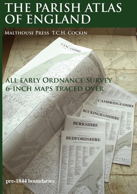
The Parish Atlas of England: Atlas of English Parish Boundaries - Paperback
Pay over time for orders over $35.00 with
Offers & Perks
Earn 83 points with this purchase
Added to your rewards balance after checkout.
100 points welcome bonus
Create an account and start with extra points.
An atlas old English PARISHES for the general user, local historians and genealogists. Using desktop publishing and high capacity memory personal computers the 19th Century Ordnance Survey 6-Inch County series maps have been traced over at 16.8mm (0.6619 inch) to 1 mile with readable text, combined with information from tithe maps and other sources. This is seven-year, solo, labour of love project by T.C.H. Cockin contains all 39 counties of England, with consideration to the possibility panels can make wall charts or fold-outs for separate publication.
Free shipping on orders over $75. Standard shipping takes 3-7 business days. Eligible items may be returned within 30 days of delivery. Conditions apply.