
Moosehead Lake Depth Maps - Paperback
Pay over time for orders over $35.00 with
Offers & Perks
Earn 78 points with this purchase
Added to your rewards balance after checkout.
100 points welcome bonus
Create an account and start with extra points.
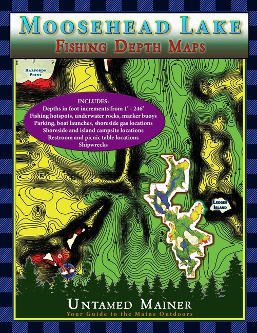
See the depths of Moosehead Lake in Full Color!
The Moosehead Lake depth maps are here! The Moosehead Lake Depth Map Atlases offer detailed 1-foot depth increments to show the contours of the bottom in full color, making it easy to find drop-offs, shallow areas, deep basins, and underwater mountains. The maps include the locations of underwater rock hazards, islands, fishing hotspots, parking, trailered & hand-carry boat launches, water-accessible fuel, picnic tables, restrooms, campsites, shipwrecks (in books 2 and 4), hazard buoys, channel buoys, no-wake zones, and the two-mile light buoy.
These maps are perfect if you love fishing, boating, canoeing, kayaking, camping, diving, & adventure on Moosehead Lake!
The maps include the locations of:
- Underwater rock hazards
- Fishing hotspots
- Parking
- Trailered & hand-carry boat launches
- Water-accessible fuel
- Picnic tables
- Restrooms
- Campsites
- Kineo Fire Tower
- Shipwrecks
- Hazard buoys
- Channel buoys
- No-wake zones
- Two-mile light
Free shipping on orders over $75. Standard shipping takes 3-7 business days. Returns accepted within 30 days of purchase.