
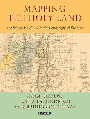
Mapping the Holy Land: The Foundation of a Scientific Cartography of Palestine - Paperback
$192.99
Quantity
01
Pay over time for orders over $35.00 with
Offers & Perks
Earn 192 points with this purchase
Added to your rewards balance after checkout.
100 points welcome bonus
Create an account and start with extra points.
Availability:In StockContributor:Bruno Schelhaas, Jutta Faehndrich, Haim GorenSeries:Tauris Historical GeographicalTheme:Cultural Region/Middle EasternPublish date:7/31/2017Pages:208
Languages:EnglishPublisher:I. B. Tauris & CompanyISBN-13:9781784534547ISBN-10:1784534544UPC:9781784534547Book Category:History, Technology & EngineeringBook Subcategory:Historical Geography, Cartography, Middle EastSize:9.80 x 7.60 x 0.90 inchesWeight:0.817Product ID:SCXC0Z741D
Through a detailed study of the work of three of the leading figures of the era - Augustus Petermann, Physical Geographer Royal to Queen Victoria; cartographer Charles Meredith van de Velde, who produced the finest map of the region at the time; and Edward Robinson, founder of modern Palestinology - the authors explore the complex cultural, cartographic and technical processes that shaped and determined the resulting maps of the region. Making full use of newly discovered archival material, and richly illustrated in both colour and black and white, Mapping the Holy Land is essential reading for cartographers, historical geographers, historians of mapmaking, and for all those with an interest in the Holy Land and the history of Palestine.
Languages:EnglishPublisher:I. B. Tauris & CompanyISBN-13:9781784534547ISBN-10:1784534544UPC:9781784534547Book Category:History, Technology & EngineeringBook Subcategory:Historical Geography, Cartography, Middle EastSize:9.80 x 7.60 x 0.90 inchesWeight:0.817Product ID:SCXC0Z741D
Haim Goren is Professor of Historical Geography, Tel Hai College, Israel. He has a longstanding interest in the Holy Land, European activity in Ottoman Palestine and the Near East, and the history of the modern scientific study of these regions. He is the author of Dead Sea Level: Science, Exploration and Imperial Interests in the Near East (2011) and (with E.Dolev and Y. Sheffy) Palestine and the First World War: New Perspectives (2014), both published by I.B.Tauris.Bruno Schelhaas is Head of the Archive for Geography, Leibniz Institute for Regional Geography, Leibniz, Germany. His interests include the history of geography and cartography, historical geography and archival science.Jutta Faehndrich is a researcher with the Leibniz Institute for Regional Geography, where her research focus is on the history of cartography, European cultural history, and cultures of memory.
Publisher: I. B. Tauris & Company
Contributor(s)
Authors
Free shipping on orders over $75. Standard shipping takes 3-7 business days. Eligible items may be returned within 30 days of delivery. Conditions apply.