
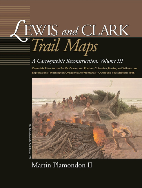
Lewis and Clark Trail Maps: Columbia River to the Pacific Ocean, and Further Columbia, Marias, and Yellowstone Explorations (Washington/Oregon/Idaho/M - Spiral
Choose Option
Spiral

Hardcover
Pay over time for orders over $35.00 with
Offers & Perks
Earn 21 points with this purchase
Added to your rewards balance after checkout.
100 points welcome bonus
Create an account and start with extra points.
After crossing the Bitterroot Range and canoeing down the cataract-filled Snake River, the Corps of Discovery finally reached the long-sought Columbia River in the autumn of 1805. Volume III continues the cartographic reconstruction of the explorers' trek as they set out from the Snake-Columbia junction, October 18, 1805, on the final leg of their journey to the sea. In addition to intricately mapping the Columbia's great rapids, desert and rain-forest shorelines, spectacular mountain gorge, and broad estuary, Volume III reveals the vast number of Native American villages that lined the River of the West in Lewis and Clark's time. Additional maps and illustrations depict the Fort Clatsop winter quarters, Cascade volcanoes, coastal explorations, compares the modern beds of streams to their courses at the time of the exploration, and more.
Though having reached their primary goal, the Pacific Ocean, the expedition's investigation of new terrain in western North America was far from over. Volume III outlines the significant discoveries recorded as they returned eastward in 1806 through the broad Columbia, Marias, and Yellowstone watersheds. Volume III concludes when the Corps of Discovery, long given up for dead by most Americans, paddled up to the St. Louis waterfront on September 23, 1806, to an arousing reception by the local population. Of further special interest in this volume are the many excerpts from the expedition diaries. This careful cartographic reconstruction is a captivating and never-before-seen record of the American West. Martin Plamondon II of Vancouver, Washington, is a former chairman of the Governor's Washington Lewis and Clark Trail Committee. His long-term research in exploration history and twenty-eight years of experience as a professional cartographer have provided the unique set of skills required to complete the trail maps.
Martin Plamondon II of Vancouver, Washington, was a chairman of the Governor's Washington Lewis and Clark Trail Committee. His long-term research in exploration history and 28 years of experience as a professional cartographer provided the unique set of skills required to complete the trail maps.
Contributor(s)
Author
Free shipping on orders over $75. Standard shipping takes 3-7 business days. Eligible items may be returned within 30 days of delivery. Conditions apply.