
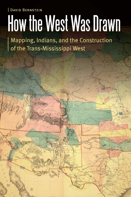
How the West Was Drawn: Mapping, Indians, and the Construction of the Trans-Mississippi West - Paperback
$29.99
$30.00
Quantity
01
Pay over time for orders over $35.00 with
Offers & Perks
Earn 29 points with this purchase
Added to your rewards balance after checkout.
100 points welcome bonus
Create an account and start with extra points.
Availability:In StockContributor:David BernsteinSeries:Borderlands and Transcultural StudiesTheme:Chronological Period/19th Century, Ethnic Orientation/Native AmericanPublish date:3/1/2021Pages:330
Languages:EnglishPublisher:University of Nebraska PressISBN-13:9781496224927ISBN-10:1496224922UPC:9781496224927Book Category:Social Science, HistoryBook Subcategory:Native American Studies, United States, Historical GeographyBook Topic:19th CenturySize:9.00 x 6.00 x 0.73 inchesWeight:0.481Product ID:SC9MZYCDR3
How the West Was Drawn explores the geographic and historical experiences of the Pawnees, the Iowas, and the Lakotas during the European and American contest for imperial control of the Great Plains during the eighteenth and nineteenth centuries. David Bernstein argues that the American West was a collaborative construction between Native peoples and Euro-American empires that developed cartographic processes and culturally specific maps, which in turn reflected encounter and conflict between settler states and indigenous peoples. Bernstein explores the cartographic creation of the Trans-Mississippi West through an interdisciplinary methodology in geography and history. He shows how the Pawnees and the Iowas--wedged between powerful Osages, Sioux, the horse- and captive-rich Comanche Empire, French fur traders, Spanish merchants, and American Indian agents and explorers--devised strategies of survivance and diplomacy to retain autonomy during this era. The Pawnees and the Iowas developed a strategy of cartographic resistance to predations by both Euro-American imperial powers and strong indigenous empires, navigating the volatile and rapidly changing world of the Great Plains by brokering their spatial and territorial knowledge either to stronger indigenous nations or to much weaker and conquerable American and European powers. How the West Was Drawn is a revisionist and interdisciplinary understanding of the global imperial contest for North America's Great Plains that illuminates in fine detail the strategies of survival of the Pawnees, the Iowas, and the Lakotas amid accommodation to predatory Euro-American and Native empires.
Languages:EnglishPublisher:University of Nebraska PressISBN-13:9781496224927ISBN-10:1496224922UPC:9781496224927Book Category:Social Science, HistoryBook Subcategory:Native American Studies, United States, Historical GeographyBook Topic:19th CenturySize:9.00 x 6.00 x 0.73 inchesWeight:0.481Product ID:SC9MZYCDR3
David Bernstein is a historian and photographer.
Publisher: University of Nebraska Press
Contributor(s)
Author
Free shipping on orders over $75. Standard shipping takes 3-7 business days. Eligible items may be returned within 30 days of delivery. Conditions apply.