
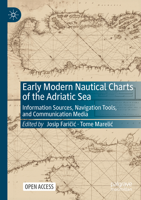
Early Modern Nautical Charts of the Adriatic Sea: Information Sources, Navigation Tools, and Communication Media - Hardcover
Pay over time for orders over $35.00 with
Offers & Perks
Earn 59 points with this purchase
Added to your rewards balance after checkout.
100 points welcome bonus
Create an account and start with extra points.
This Open Access book provides a comprehensive and multi-layered understanding of the development of Adriatic Sea nautical cartography from its beginnings in the late Middle Ages to the implementation of geodetic and hydrographic surveys in the early nineteenth century. During the early modern period, the importance of nautical charts exceeded mere navigational purpose as they also became a medium for conveying an extensive array of socioeconomic information and messages. The authors examine how the geographical characteristics and social elements of the Adriatic Sea and its surroundings were observed, understood, and cartographically represented in accordance with contemporary scientific, technological, socioeconomic, cultural, or political frameworks using various phenomenological viewpoints and methodological techniques. Since the Adriatic Sea has historically functioned as a smaller-scale version of the Mediterranean, its contents transcend its geographical boundaries and are also broadly applicable to other Mediterranean regions.
Josip Faričic is Professor at the Department of Geography, University of Zadar, Croatia. His research interests are history of cartography, historical geography and geographical names. He examines cultural interpenetrations in the Adriatic as a fundamental process that has shaped spatial organization and landscape of this northernmost part of the Mediterranean.
Tome Marelic is Assistant Professor at the Department of Geography, University of Zadar, Croatia. His primary research interests centre on the still-mysterious origins of portolan charts, which he seeks to resolve by employing the cartometric approach in conjunction with known historical sources.
Contributor(s)
Free shipping on orders over $75. Standard shipping takes 3-7 business days. Eligible items may be returned within 30 days of delivery. Conditions apply.