
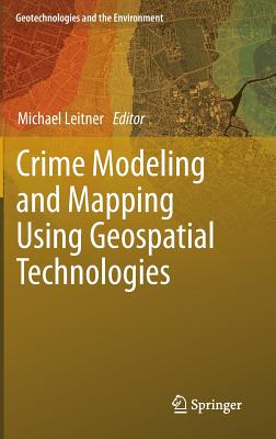
Crime Modeling and Mapping Using Geospatial Technologies - Hardcover
$168.99
$169.99
-1%Quantity
01
Pay over time for orders over $35.00 with
Offers & Perks
Earn 168 points with this purchase
Added to your rewards balance after checkout.
100 points welcome bonus
Create an account and start with extra points.
Availability:In StockContributor:Michael LeitnerSeries:Geotechnologies and the EnvironmentTheme:Aspects (Academic)/Crime/CriminologyPublish date:1/18/2013Pages:446
Languages:EnglishPublisher:SpringerISBN-13:9789400749962ISBN-10:9400749961UPC:9789400749962Book Category:Social Science, ScienceBook Subcategory:Criminology, Earth Sciences, StatisticsBook Topic:GeographySize:9.20 x 6.20 x 1.10 inchesWeight:1.067Product ID:SCMV783SMY
This book surveys the evolution, current state and future of crime mapping with geographic information systems technology. Covers methods from such areas as epidemiology and location-allocation analysis, and their application to spatial analysis of crime data.
Languages:EnglishPublisher:SpringerISBN-13:9789400749962ISBN-10:9400749961UPC:9789400749962Book Category:Social Science, ScienceBook Subcategory:Criminology, Earth Sciences, StatisticsBook Topic:GeographySize:9.20 x 6.20 x 1.10 inchesWeight:1.067Product ID:SCMV783SMY
Michael Leitner is a Professor at the Department of Geography and Anthropology at the Louisiana State University in Baton Rouge (USA).
At LSU, he is teaching courses in (advanced) computer cartography, GIS, methods of spatial analysis, aerial photo interpretation, and how GPS collected data can be used for the analysis, modeling, and visualization in a GIS environment.
His current research interests include automated map generalization, the visualization of data quality and its effect on spatial decision support, the utilization of GPS for computer mapping, GIS, and spatial analysis, and the development of new techniques (for example, spatial association) for the spatial analysis of crime data. His research has been published in refereed journals and proceedings and has been presented at (inter)national conferences.
He also works for the Center of Geoinformatics at the University of Salzburg, Austria.
At LSU, he is teaching courses in (advanced) computer cartography, GIS, methods of spatial analysis, aerial photo interpretation, and how GPS collected data can be used for the analysis, modeling, and visualization in a GIS environment.
His current research interests include automated map generalization, the visualization of data quality and its effect on spatial decision support, the utilization of GPS for computer mapping, GIS, and spatial analysis, and the development of new techniques (for example, spatial association) for the spatial analysis of crime data. His research has been published in refereed journals and proceedings and has been presented at (inter)national conferences.
He also works for the Center of Geoinformatics at the University of Salzburg, Austria.
Publisher: Springer
Edition
2013 Edition
Contributor(s)
Free shipping on orders over $75. Standard shipping takes 3-7 business days. Returns accepted within 30 days of purchase.