
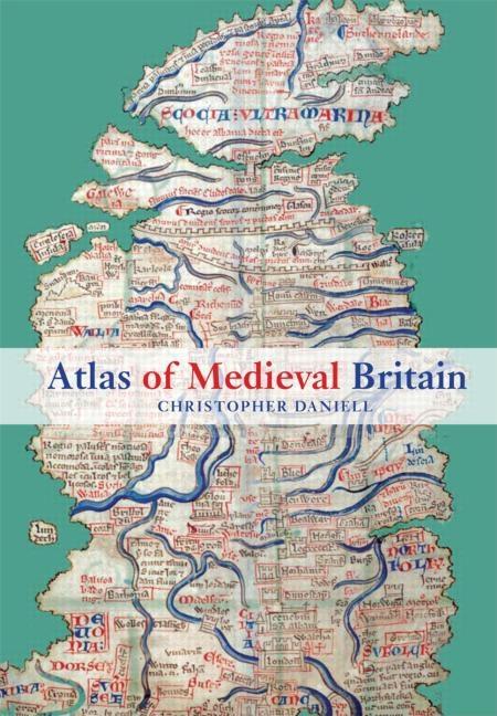
Atlas of Medieval Britain - Hardcover
Pay over time for orders over $35.00 with
Offers & Perks
Earn 165 points with this purchase
Added to your rewards balance after checkout.
100 points welcome bonus
Create an account and start with extra points.
Christopher Daniell's Atlas of Medieval Britain presents a sweeping visual survey of Britain from the Roman occupation to 1485.
Annotated throughout with clear commentary, this volume tells the story of the British Isles, and makes visually accessible the varied and often complex world of the Middle Ages. The Atlas depicts the spatial distribution of key events and buildings between 1066 and 1485, as well as providing the relevant Anglo-Saxon background. Charting the main political, administrative and religious features of medieval society, the maps also locate cultural landmarks such as the sites of mystery plays, universities and specific architectural styles.
Topics covered include:
- Iron Age and Roman occupation
- Anglo-Saxons and Vikings
- changing political scenarios within England, Scotland, Wales and Ireland
- religious framework, including diocesan boundaries, monasteries and friaries
- government, society and economy.
Complete with recommended further reading, this volume is an indispensable reference resource for all students of medieval British history.
Christopher Daniell is a Research Associate and former Honorary Visiting Fellow at the Centre for Medieval Studies, University of York. He is the author of From Norman Conquest to Magna Carta, England 1066-1215 (Routledge, 2003). He currently works as a Historic Building Advisor for the British Government.
Contributor(s)
Author
Free shipping on orders over $75. Standard shipping takes 3-7 business days. Returns accepted within 30 days of purchase.